IslayBlog.com -> Specials ->

Tuesday, 03/Jul/2007
Islay From The Air on 25/Jun/2007
These pictures were taken by my mother Jutta Grewe on 25/Jun/2007 from the Islay to Glasgow morning flight. The weather was very clear that morning. The plane lifted off over Laggan Bay, then turned east just before Laggan Point and crossed Islay towards Claggain Bay.
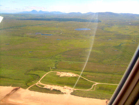
The first view immediately after take off. Just below the Big Strand. Uisge na Criche winds its way down to the beach. The two lochs are Loch Dubh (left, closer to the beach) and Loch Dhomhnuill (right, further back). On the horizon the distinctive shape of the Paps of Jura.

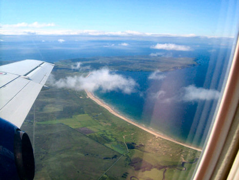
The plane had now turned east, the view is towards the south. Just below we can see the River Laggan. The Big Strand stretches along Laggan Bay up to The Oa. The Oa peninsula then stretches out into the distance.

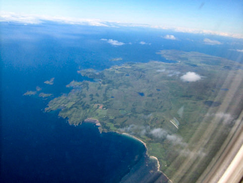
We have now crossed Islay and are over the sea again. A great view over the southern coastline of Islay. Just below are Aros Bay, Claggain Bay and Tràigh Bhàn (left to right). In the distance Kilnaughton Bay with Port Ellen.

That's all for now. More on my Isle of Islay pages.